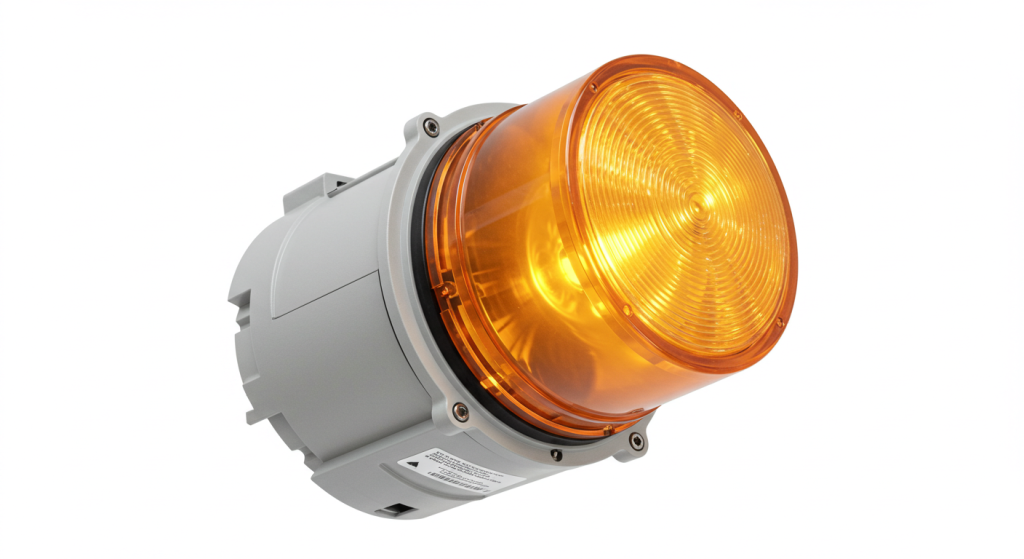
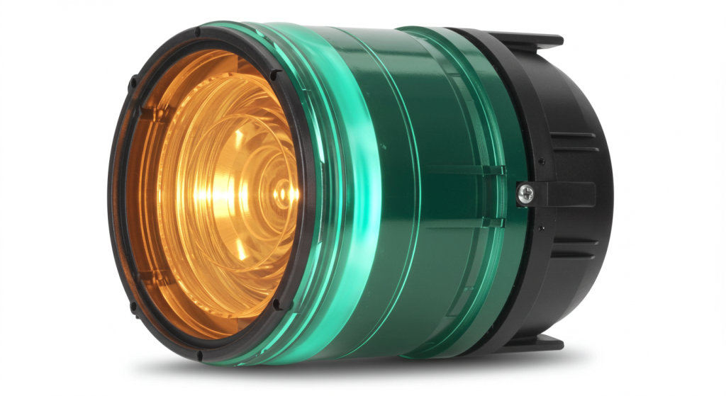
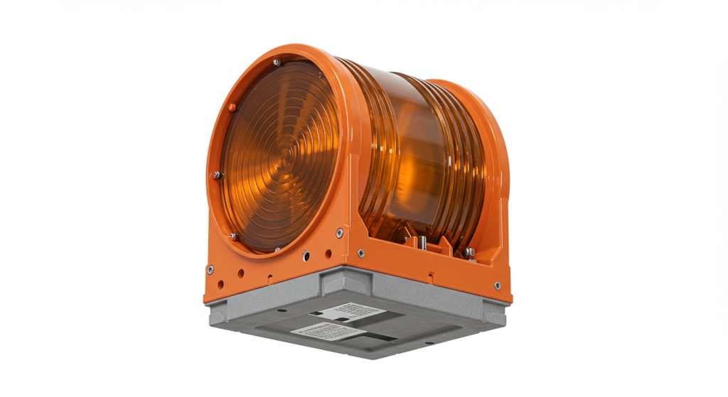
In today’s highly developed aviation industry, low altitude flight safety has always been of paramount importance. As a key equipment for ensuring low altitude flight safety, aviation obstacle lights have undergone years of development and innovation. In recent years, the integration of GPS technology and aviation obstacle lights has injected new vitality into this traditional field, ushering in a new era of intelligent aviation warning.

The limitations and challenges of traditional aviation obstruction lights
Looking back at the development history of aviation obstruction lights, early obstruction lights were simply light emitting devices that relied on fixed light intensity and flashing patterns to alert pilots. However, with the rapid development of urban construction, high-rise buildings have sprung up like mushrooms after rain, and the number of aviation obstruction lights has increased exponentially. Traditional non intelligent aviation obstacle lights are gradually exposing many problems in such complex environments.
On the one hand, in densely populated urban areas, numerous obstacle lights are installed on a large number of buildings, making it difficult for pilots to quickly and accurately distinguish the specific location and height information of each obstacle in the air. Especially at night or under complex weather conditions, relying solely on visual observation of lights can easily lead to visual confusion, making it difficult to accurately determine which building the potential danger comes from. This undoubtedly increases the safety hazards of low altitude flight.
On the other hand, the maintenance and management of traditional aviation obstruction lights also face enormous challenges. Due to the inability to monitor the working status of the lighting fixtures in real-time, maintenance personnel usually have to conduct inspections at fixed intervals. This may result in some lighting fixtures malfunctioning and not being detected and repaired in a timely manner. Once they fail at a critical moment, the consequences can be unimaginable. Moreover, buildings in different regions and heights have varying requirements for obstacle lights, and manual management is difficult to ensure that every light always meets regulatory standards. While it consumes a lot of manpower and resources, there are still management loopholes.
GPS technology empowers aviation obstacle lights
GPS (Global Positioning System), as a revolutionary satellite navigation technology, has been widely used in many fields such as transportation and geographic surveying. The introduction of GPS technology into the field of aviation obstruction lights has brought a glimmer of hope for solving the difficulties faced by traditional obstruction lights.

Accurate positioning function
The GPS aviation obstacle light is equipped with a high-precision GPS positioning module, which can obtain real-time accurate geographic location information of the light itself, including longitude, latitude, and altitude. These data can be instantly sent to the ground control center or pilot’s navigation equipment through wireless transmission technology. In this way, when pilots are flying in the air, with the help of the display terminal on the aircraft, they can not only see the flashing warning of obstacle lights, but also clearly know the exact coordinate position of the obstacle, so as to quickly judge the relative relationship with their own flight path in complex low altitude environments, plan safe avoidance routes in advance, and greatly improve flight safety.
For example, around large international airports, the airspace is busy and there are numerous buildings. A passenger plane preparing to land, the pilot receives location information from GPS aviation obstruction lights on surrounding buildings through the aircraft’s navigation system, and cooperates with the airport’s approach guidance to accurately avoid towering terminals, command towers, and surrounding supporting facilities, ensuring a smooth and worry free landing process. Even in the event of sudden low visibility weather, such as dense fog covering the airport area, accurate positioning information can still penetrate the fog and provide reliable navigation references for pilots, like lighting a beacon in the dark, guiding a safe direction.
Intelligent linkage and cluster management
Relying on GPS technology, aviation obstacle lights are no longer isolated individuals, but can achieve intelligent linkage and cluster management. After receiving the position and status information sent by various obstacle lights, the ground control center can use professional software for big data analysis to construct a real-time distribution map of obstacles in the entire low altitude area. This distribution map is like a fine electronic map, showing the distribution of all objects that may pose a threat to low altitude flight in all directions.
Furthermore, through intelligent algorithms, the ground control center can predict in advance which obstacle lights are related to the current flight mission based on the real-time flight trajectory of the aircraft, and dynamically adjust these related obstacle lights. For example, when an aircraft flies towards a certain area according to a predetermined route, the GPS aviation obstacle lights in that area can automatically adjust their flashing frequency or intensity to alert the pilot in a more prominent way, while the obstacle lights in other unrelated areas remain in their normal state to avoid unnecessary visual interference. This intelligent linkage mechanism is like tailoring an exclusive light show for every low altitude flight, ensuring the effectiveness of safety warnings and optimizing the visual experience of pilots, reducing the troubles caused by information overload.
In high-rise areas of urban clusters, such as Manhattan in New York and Lujiazui in Shanghai, numerous skyscrapers stand tall, and the intelligent cluster management advantages of GPS aviation obstruction lights are fully demonstrated. Every night when the lights start, the ground control center silently guards this airspace, monitoring thousands of obstacle lights in real-time. Once an aircraft enters the area, the obstacle lights of the relevant buildings quickly respond and work together to open up a safe low altitude passage for the aircraft, allowing the bustling night sky of the city to coexist harmoniously with the busy low altitude routes.

Technical details and innovative points of GPS aviation obstruction lights
Selection of high-precision positioning chip
The positioning chip used for GPS aviation obstruction lights is crucial for achieving precise positioning. At present, the mainstream high-precision GPS chips on the market have positioning accuracy of sub meters or even higher. These chips adopt advanced multi satellite positioning technology, which can not only receive signals from US GPS satellites, but also be compatible with global satellite navigation systems such as Russia’s GLONASS and China’s Beidou. Through multi system collaborative positioning, they effectively compensate for signal obstruction, interference and other problems that may exist in a single satellite system, ensuring stable and accurate output of position information in various complex environments.
Low power consumption and long battery life design
Considering that aviation obstruction lights are mostly installed at high altitudes, it is inconvenient to replace batteries or perform power maintenance, so low-power design has become the key. The GPS aviation obstacle light uses an intelligent sleep and wake-up mechanism. When the surrounding environment has sufficient light (such as during the day) and no aircraft is approaching, the light automatically enters a low-power sleep state, only maintaining the basic operation of the GPS positioning module and continuously updating its own location information with extremely low power consumption. And once the light becomes dim or an aircraft is detected approaching, the lighting fixtures are instantly awakened, and the full power is turned on to emit light and transmit data, ensuring timely warning. Combined with efficient solar charging panels or large capacity lithium batteries, some advanced GPS aviation obstruction lights can maintain normal operation for several months or even more than six months under adverse power supply conditions such as continuous rainy days after being fully charged, greatly reducing maintenance costs and frequency.
Reliable wireless transmission technology
The real-time transmission of GPS positioning data and the working status information of the lighting fixtures relies on stable and reliable wireless transmission technology. Common technologies include cellular communication based on 4G/5G networks, as well as short-range wireless communication protocols such as low-power Bluetooth and ZigBee. In areas with good 4G/5G network coverage such as cities, high-speed cellular communication is preferred for aviation obstruction lights to ensure real-time transmission of large amounts of data, allowing the ground control center to grasp all lighting dynamics in real-time. For some remote areas or scenarios with extremely high power consumption requirements, short-range wireless communication technology plays an advantage by building an ad hoc network to gradually aggregate and transmit data from multiple obstacle lights. While ensuring basic communication needs, it further optimizes power consumption performance to ensure that information transmission will not be interrupted even under extreme conditions.
Application Cases and Actual Results
Security measures around busy airports
Taking Beijing Capital International Airport as an example, there are a large number of logistics warehouses, factory buildings, and residential buildings distributed around it. To ensure the low altitude safety of airport takeoff and landing routes, GPS aviation obstruction lights have been installed on these buildings. Since the introduction of the system, airport tower commanders have provided feedback that pilots have significantly improved the clarity of obstacle recognition in the air and significantly reduced the risk of misjudgment. In the past year’s operational data statistics, the number of flight adjustments caused by unclear obstacle recognition decreased by 30% year-on-year, effectively improving the efficiency and safety of flight takeoff and landing, and reducing flight delays caused by potential hazards.
Harmonious coexistence in urban night scenes
In the Pearl River New Town of Guangzhou, as the gathering place of the city’s landmark buildings, the bright night lights and shuttle low altitude aircraft complement each other. The application of GPS aviation obstruction lights not only showcases the charming urban landscape of this area at night, but also provides safety guarantees for low altitude flying helicopters, sightseeing planes, etc. The low altitude sightseeing route operated by the local tourism company, with the help of GPS positioning function of obstacle lights, the flight process is smoother. Tourists can enjoy the beautiful city scenery in the air without worrying about the risk of “intimate contact” with buildings, laying a solid foundation for the vigorous development of the low altitude tourism industry in the city.
Future prospects
With the continuous advancement of technology, GPS aviation obstacle lights have even broader development prospects. On the one hand, artificial intelligence technology is expected to be deeply integrated, further optimizing intelligent linkage and cluster management mechanisms. Through machine learning algorithms, the system can autonomously predict potential low altitude flight risks based on historical flight data and real-time environmental changes, proactively adjust obstacle light states in advance, and achieve more intelligent and forward-looking safety protection.
On the other hand, the integration with drone flight management will become a new hot spot. With the widespread application of drones in various fields, urban low altitude airspace is becoming increasingly complex. GPS aviation obstacle lights can not only warn people of flying airplanes, but also interconnect with the flight control system of drones in the future. When drones approach dangerous areas, they automatically receive warning signals from obstacle lights, forcing them to take safety measures such as avoidance or hovering, ensuring that multiple types of aircraft coexist harmoniously at low altitudes.
In short, GPS aviation obstruction lights, as an intelligent upgrade product of traditional aviation obstruction lights, have become a powerful assistant in the field of low altitude flight safety with many advantages such as precise positioning and intelligent linkage. In the future, it will continue to evolve, safeguarding the prosperous development of the aviation industry and the rational utilization of urban low altitude space, ensuring that every flight to the sky is safe and worry free.